


NavIC is the Indian version of GPS that we all know and use. It is designed as a constellation of seven satellites. For accurate triangulation, we need a minimum of four satellites. But currently, we have only 3 working satellites. This effectively means that NavIC is not working satisfactorily.
I co-wrote an opinion piece about this issue for India’s World.
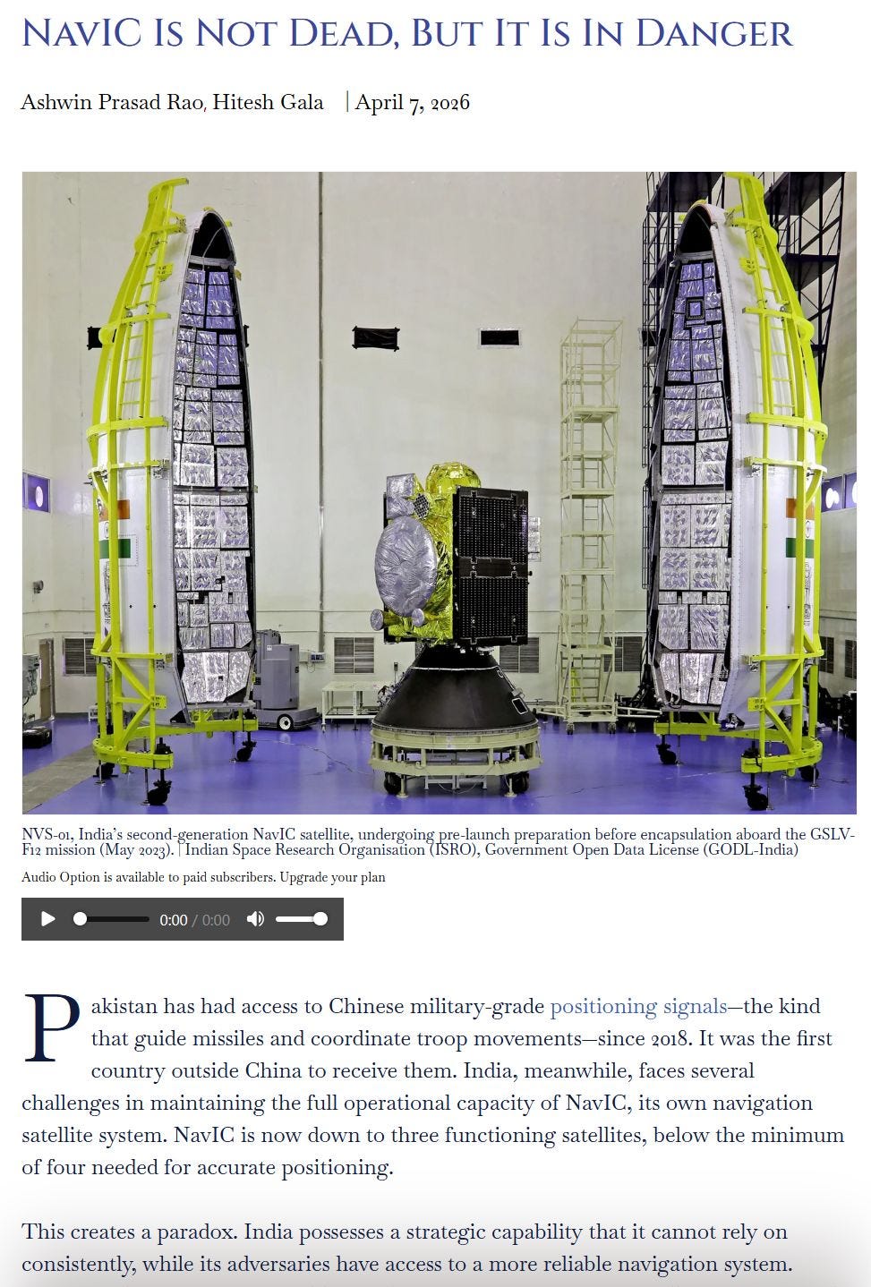
Here is an excerpt:
… Despite its clock failures, Galileo maintained service because of its built-in redundancy with four clocks per satellite and over 24 satellites in orbit. GPS’s early clocks had very low lifespans, and yet the system survived because the US had over 30 satellites to absorb individual losses. This was underpinned by a domestic infrastructure that could buy, manufacture and launch satellites in larger numbers. The takeaway is that a navigation satellite system is a lot more than a cluster of satellites with atomic clocks that ISRO alone has to build and launch. Instead, it should be viewed as a national infrastructure that demands the same industrial depth, redundancy, and operational rigour as a power grid or a rail network…
… India built a strategically important system without building enough redundancy around it. NavIC uses high-altitude satellites. This design permits fewer satellites covering a smaller patch of sky than global-coverage lower-altitude positioning systems like the GPS. On the flip side, each NavIC satellite carries a disproportionate share of the coverage geometry… With its lean configuration, the loss of even a single healthy satellite can be debilitating. It can take the system from working reliably to barely working at all.
… The main challenge is uneven replenishment. Unsuccessful launches in 2017 and 2025 have disrupted the replenishment of the constellation with new satellites. Analysis of publicly available data suggests ISRO is rationing propellant on its remaining satellites to stretch their functioning lives before replacements arrive. Meanwhile, one of the last three functional satellites is past its ten-year design life… Building domestic launch capacity is not separate from fixing NavIC…
… Today, Indian systems can draw on GPS, GLONASS, Galileo, and BeiDou alongside NavIC. Each of those four foreign constellations is operated by a different geopolitical actor—the United States, Russia, the European Union, and China. Their interests diverge enough that in any plausible conflict scenario, if some of these systems are jammed, spoofed, or selectively denied, at least two are likely to remain available to India.